CLOUDS

This is a CUMULUS cloud. Cumulus clouds look like big fluffy cotton balls that float in the air from 100-1,000 feet in the air. They grow into are next cloud type, Cumulonimbus Clouds.

This is a CUMULONIMBUS cloud. The word nimbus- in Latin means rain. These type of clouds are known as thunder storm clouds. These clouds form at about 500 to 13,000 feet, but can reach up to 75,000 feet in extreme storms. Most often they peak at around 20,000 feet.

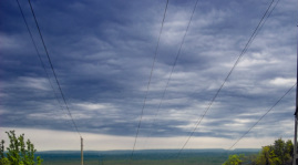
This is a STRATUS cloud. They usually peak around 6,000 feet. They are know for their blanket like texture. These amazing clouds form into our next type, Nimbostratus.
This is a NIMBOSTRATUS cloud. These are low level clouds which means they are closer to the ground than other clouds. They typically lie between 6,000-7,000 feet. They are big clouds that block out the sun\moon and they also produce snow.
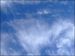
This is our last cloud, CIRRUS. The base of this cloud floats around 20,000 feet. These clouds are made out of frozen particles called ice crystals. Snow, sleet and light hail fall from these clouds.
FRONTS

This is a image of a warm front. A warm front happens when cold air masses are taken over by warm air masses. If the temperature is 32*F then a warm front moves is, the temperature would be from around 40*F-60*F. As you can see in the picture the warm air rises and cold air sinks. During this event it precipitates.

This is a cold front. A cold front happens when a cold air mass takes over a warm front. As you can see it precipitates heavily. The warm air rises and turns around. The cool air pushes the warm air.
air Masses

There are 5 main types of air masses: Continental Arctic(CA), Continental Polar(CP), Continental Tropic(CT), Maritime Tropic(MT), Maritime Polar(MP). The graph below will show you their features:
CA=Bitterly cold, dry
CP=Cold, dry
CT=Hot, dry
MT=Warm, moist
MP=Cool, moist
CA=Bitterly cold, dry
CP=Cold, dry
CT=Hot, dry
MT=Warm, moist
MP=Cool, moist
